West Quay Collapse

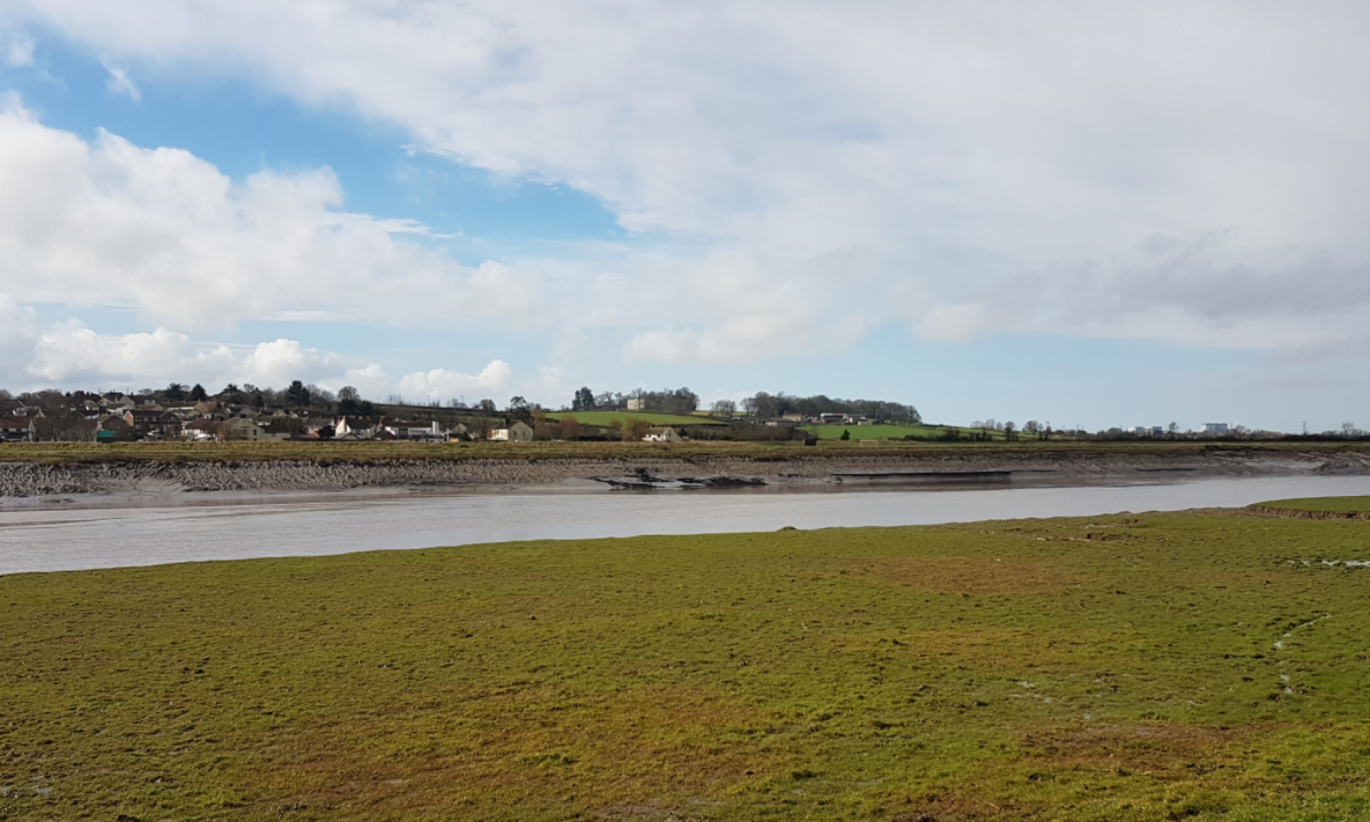
In November 2011 a section of Bridgwater’s West Quay collapsed. It was an old quay wall, possibly medieval in parts and close to or at the location where the demolished Bridgwater Castle  would gain access to the River Parrett. Whilst there is no official report explaining the failure it was probably the usual one;  a build up of water behind the wall that exceeded the ability of the wall to  resist it. It had rained very heavily beforehand. This is why holes are provided at the base of retaining walls to let the water escape and reduce the water pressure behind. Old walls often fall over and some relatively new ones fall over as well.

However since collapse the EA and Sedgemoor District Council  appears to have developed their own interpretation on the collapse implying that West Quay is a flood defence  which it isn’t. It was part of the old port of Bridgwater and the legacy of that commercial activity.

The EA’s public 1016 consultation boards on the Bridgwater Tidal Barrier imply that the West Quay collapse would not have happened if the Tidal Surge Barrier and its associated defences had been in place which  is implausible to say the least. It also makes a statement that the wall was in poor condition, who knows what condition it was in and a wall can be in perfect condition and still fall over if its capacity is exceeded.

EA Barrier Location Consultation March 2016
EA Barrier Consultation September 2016
Sedgemoor Draft Local Plan 2017

Sedgemoor ratepayer’s have been asked for comments on the location of the the Bridgwater Tidal Barrier in 2016 and the Draft Local Plan in 2017. They rely on the efficacy of the information provided by our statutory authorities and in the case of West Quay  the information and the story presented seems questionable.
 

A Tidal Surge Barrier, A Bridge & Dunball Wharf

One of the problems with building the Bridgwater Tidal Barrier downstream of Dunball Wharf is the marine traffic to Dunball Wharf. Sedgemoor District Councils current draft local plan states “The Council will support the continued operation and potential development of Bridgwater Port including Dunball Wharf and Combwich Wharf (Policy D16 applies). It will also support the re-establishment of active commercial wharf’s at suitable locations elsewhere on the River Parrett. In all cases the construction or operation of new wharf’s should not adversely impact upon the Severn Estuary internationally designated site.”

The reality is that  the Dunball Wharf’s with their tidal drying berths, dependency on  high tides and difficult navigation is never going to be a commercial success but the 200m wide river at Combwich might. Construction of  the tidal surge barrier could enable the relocation of Dunball Wharf to a better location.

Much hangs on what is considered to be adverse.

Concepts of what the river structures might look like have not been forthcoming since 2009. Apart from the tower  and turning vertical gate Bridgwater’s gate structure will be considerably shorter than the Hull Barrier structure we have  been repeatedly shown.

What would a barrier with a road bridge  options look like?

Another wharf at Combwich, EDF have  one there already, would not require an opening bridge or clearance much more than Drove Bridge on the NDR. A tidal surge barrier with a 40m fixed navigation span and a road deck might look like

Keeping Dunball Wharf  would require a one larger gate and an opening bridge. Dunball currently sees 40 or so vessel movements a year so its operation would not affect the bypass traffic.

The engineering is relatively simple and with a purpose built wharf everything could be shipped in during construction.